Step back
Give the snake room. Do not touch, trap, chase or try to kill it.
Sydney service region · 47 local guides
Coverage across open grassland, creek systems, newer estates and industrial land. Call the SnakeSafe Sydney network with your exact suburb and last-known snake location.
Call for Western Sydney coverage0485 669 824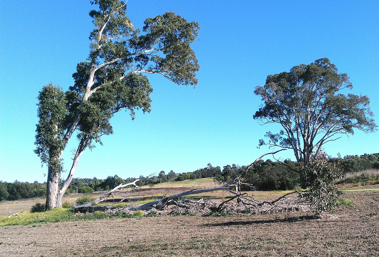
The regional picture
Western Sydney includes open grassland, creek systems, newer estates and industrial land. Vegetation ranges through Cumberland Plain woodland, riparian trees, grassland and suburban gardens, and the practical access can shift from apartment loading bays to acreage gates within the same service region.
That is why each suburb below has its own point of interest, property context, map, vet and hospital information. The pages are for local safety and planning, not to manufacture repeated versions of the same sales pitch.
Regional reference: Western Sydney Parklands ↗Do this now
Give the snake room. Do not touch, trap, chase or try to kill it.
Move children and pets indoors or behind a closed door.
If you can do so safely, note where it goes. Never corner it.
Tell us the suburb, the last clear location and any immediate risks.
Choose the actual suburb
Blacktown Creek and Nurragingy Reserve
Open local guide →2767Nurragingy Reserve and Bungarribee Park
Open local guide →2766Western Sydney Parklands and industrial precinct
Open local guide →2750Nepean River and sandstone foothills
Open local guide →2745Mulgoa Nature Reserve approaches and Surveyors Creek
Open local guide →2747Werrington Creek and Nepean health precinct
Open local guide →2770Ropes Creek corridor and Dawson Mall precinct
Open local guide →2750Nepean River and Penrith Lakes
Open local guide →2148Prospect Reservoir and Prospect Creek
Open local guide →2760South Creek and Werrington Creek
Open local guide →2747Werrington Creek and Werrington Lakes Reserve
Open local guide →2763Quakers Hill Parkway reserves and the Breakfast Creek catchment
Open local guide →2148Eastern Creek corridor and industrial estate
Open local guide →2765South Creek floodplain and Berkshire Park rural land
Open local guide →2747Werrington Creek and Cambridge Gardens reserve network
Open local guide →2747Werrington Creek and the Penrith education precinct
Open local guide →2749Nepean River, Penrith Lakes and Castlereagh Nature Reserve
Open local guide →2747South Creek tributaries and Gipps Street recreation land
Open local guide →2761Eastern Creek floodplain and Stonecutters Ridge
Open local guide →2760Ropes Creek and Bennett Park
Open local guide →2749Penrith Lakes, Cranebrook Wetlands and Nepean River flats
Open local guide →2750Blue Mountains escarpment and Nepean River approaches
Open local guide →2759Ropes Creek, Mamre Road industry and open Cumberland woodland
Open local guide →2761Eastern Creek tributaries and Glendenning industrial area
Open local guide →2761Ropes Creek and the Western Sydney Parklands edge
Open local guide →2148Eastern Creek, Great Western Highway and industrial land
Open local guide →2750Nepean River, Tench Reserve and Peach Tree Creek
Open local guide →2148Breakfast Creek and Marayong rail-industrial corridor
Open local guide →2147Lalor Creek and Seven Hills reserve corridors
Open local guide →2750Nepean River and Blue Mountains escarpment
Open local guide →2747South Creek floodplain and rural Llandilo roads
Open local guide →2148Breakfast Creek, Marayong Oval and rail corridor
Open local guide →2765South Creek tributaries and the Marsden Park growth area
Open local guide →2770Ropes Creek, Minchinbury Reserve and industrial land
Open local guide →2745Mulgoa Nature Reserve and Nepean River foothills
Open local guide →2760South Creek and Ropes Creek corridors
Open local guide →2748South Creek headwaters and Defence land
Open local guide →2761Ropes Creek and Western Sydney Parklands
Open local guide →2763Breakfast Creek and Quakers Hill Park
Open local guide →2745Nepean River and Mulgoa Creek
Open local guide →2765Eastern Creek headwaters and Riverstone growth area
Open local guide →2766Eastern Creek, Rooty Hill and regional parkland
Open local guide →2760Wianamatta Regional Park and Ropes Creek
Open local guide →2147Lalor Creek, Grantham Reserve and industrial precinct
Open local guide →2759South Creek tributaries and Mamre Road woodland
Open local guide →2146Toongabbie Creek and Girraween Creek
Open local guide →2745Nepean River, Mulgoa Creek and rural Wallacia
Open local guide →Keep it simple
One clear phone number connects you with the SnakeSafe Sydney catcher network. We’ll ask a few quick questions and check current coverage.